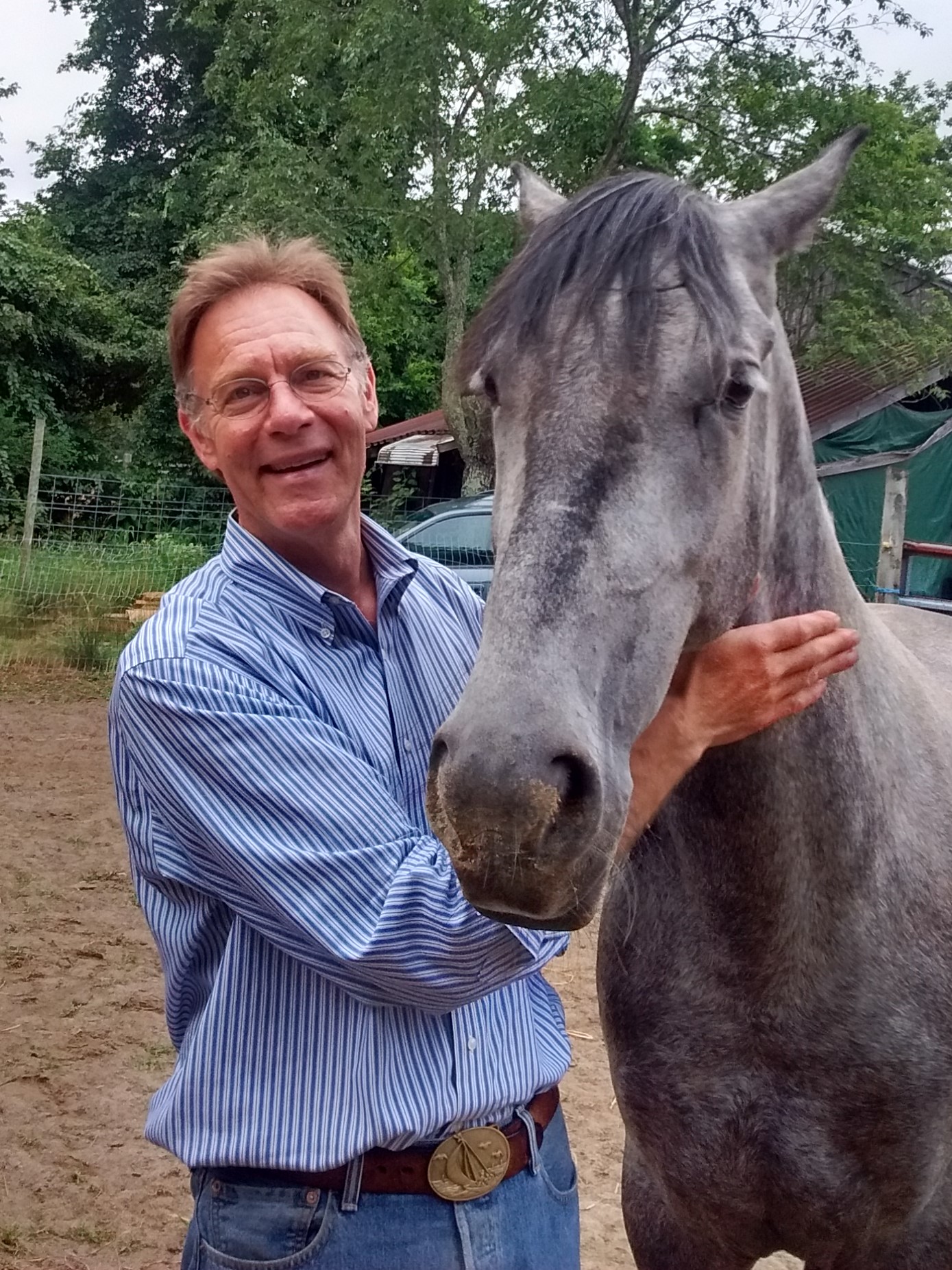
Frank Geisel
 Frank Geisel – Independent Consulting Engineer
fgeisel@protonmail.com, https://www.linkedin.com/in/frank-geisel-4480945
Expert in precision systems; analyst, researcher, focusing on complex multi-disciplinary problems requiring full-spectrum solutions in domains of: Space & Satellite Systems, GEOINT, Marine Systems, Underwater Acoustics/Robotics, Communications.
Extensive experience in Aerospace, Defense, Intelligence, Marine Industry, R&D and Applied Science
- Independent V&V of complex systems
- Geospatial sense-making, OSINT analysis and decision-support.
- Software design, coding, deployment, operations, analysis.
- Modeling & Simulation, Guidance & Navigation: Inertial instrumentation, Robotics applications: airborne, space, terrestrial, marine environments
Most recent Consulting –National Geospatial-intelligence Agency: Evaluation of Adversarial AI/ML & Verification/Validation for risk-reduction; Assessment of commercial capabilities and developments in satellite systems GNC, PNTT, & on-orbit RPO.
Significant experience in design, development, operation of precision instrumentation, data acquisition & processing systems, integrated navigation and tracking, extremely high-accuracy underwater acoustic measurement systems, telerobotic subsea intervention, offshore engineering, underwater archaeology, satellite design & architecture, high-throughput communications and information systems.
BS in Ocean Engineering (MIT); leadership and technical direction of 12 major offshore exploration programs in the Arctic, Antarctic and Great Lakes. Programs developing oil and gas transportation systems in ice covered waters were a collaboration between MARAD, US Coast Guard, and companies of the Alaska Oil & Gas Association. Engineering & environmental work led designs for anticipated major oil & gas developments north of Prudhoe Bay and included Historic expeditions: the first Winter Transit to Point Barrow and the Northwest Passage.
Pioneered the commercialization of high-frequency underwater measurement systems, demonstrated & utilized for precision archaeological measurements, mapping of ship’s hulls and underwater facilities (for mine-detection, security & physical integrity), and telerobotic control of underwater vehicles (for subsea intervention and nuclear powerplant maintenance). This work led to leading development and operations of a deep-water integrated navigation system for search/locate and precision subsea mapping and characterization.
Work with DoD, Space & IC communities has included: Inertial instrumentation, end-to-end satellite systems, design and evaluation of constellations & architecture, modeling & simulation of high-throughput communications networks, protection and security (including applications of resilience, robustness and survivability), autonomy and autonomous operations, design and implementation of systems to transform data-to-decisions in near-real-time. Deeply engaged in open-source, unclassified GEOINT programs, anomaly detection (making sense of disparate and seemingly incoherent data) and researching the current paradigm shift in decision support systems, resulting from unprecedented connections of data & domains.
